British Maps
A Topographical Plan of Manchester and Salford with the Adjacent Parts,

British Maps
A Plan of the Late Siege of the Havana and Moor's Castle, & their Environs,


British Maps
London in Miniature with the Surrounding Villages, An Entire New Plan In which the Improvements both present and intended are actually reduced (by permission) from the surveys of The Several Proprietors, The whole laid down from the best Authorities and Carefully corrected to the present time,

British Maps
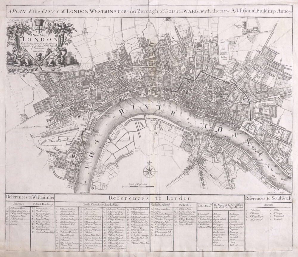
An Entire New Plan of the Cities of London & Westminster, with the Borough of Southwark, Comprehending the New Buildingsand other Alterations to the present time,


Foreign Maps
Topographical Map of the Country between the Mohawk River and Wood Creek,


British Maps
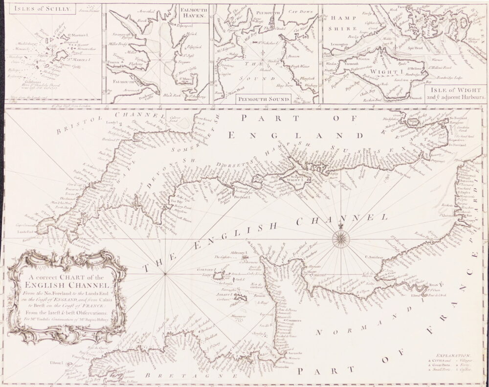
A Correct Chart of the English Channel from the No. Foreland to the Land's End on the Coast of England, and from Calais to Brest on the Coast of France,


![1. Thomson (John) Northern Part of England [with] Southern Part of England, (1830)](https://roberthall.pictures/wp-content/uploads/2024/04/1919-1000x1587.jpg)