Maps & Atlases

Showing 43–84 of 84 results

Europe

Jugel (Carl)

Post- und Eisenbahn-Karte von Deutschland,

£285

Europe

Keller (Heinrich)

Keller's Second Road Map of Switzerland,

£180

British Maps

Laurent (Charles)

A Topographical Plan of Manchester and Salford with the Adjacent Parts,

£570

British Maps

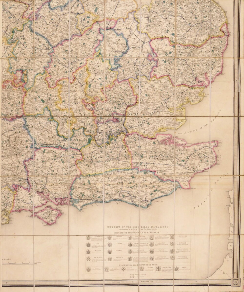
Lewis (Samuel) Publisher.

Map of S.E. England [from A Map of England & Wales],

£200

British Maps

London Magazine (The)

A Plan of the Late Siege of the Havana and Moor's Castle, & their Environs,

£150
Out of stock

British Maps

Marchant (J.)

Brighthelmstone from an actual Survey,

British Maps

Mogg (Edward)

London in Miniature with the Surrounding Villages, An Entire New Plan In which the Improvements both present and intended are actually reduced (by permission) from the surveys of The Several Proprietors, The whole laid down from the best Authorities and Carefully corrected to the present time,

£750
Out of stock

British Maps

Mogg (Edward)

An Entire New Plan of the Cities of London & Westminster, with the Borough of Southwark, Comprehending the New Buildingsand other Alterations to the present time,

Foreign Maps

Molini (Giuseppe)

Pianta della Città di Firenze,

£850

Foreign Maps

Mondaldini (Venanzio)

Pianta Topografica di Roma Moderna,

£450
Out of stock

British Maps

Morden (Robert)

Kent,

Out of stock

British Maps

Moule (Thomas)

Sussex,

British Maps

Noorthouck (John)

A New Plan of London Westminster and Southwark,

£750

Foreign Maps

Ortelius (Abraham)

Natoliae quae olim Asia Minor, Nova Descriptio,

£240

British Maps

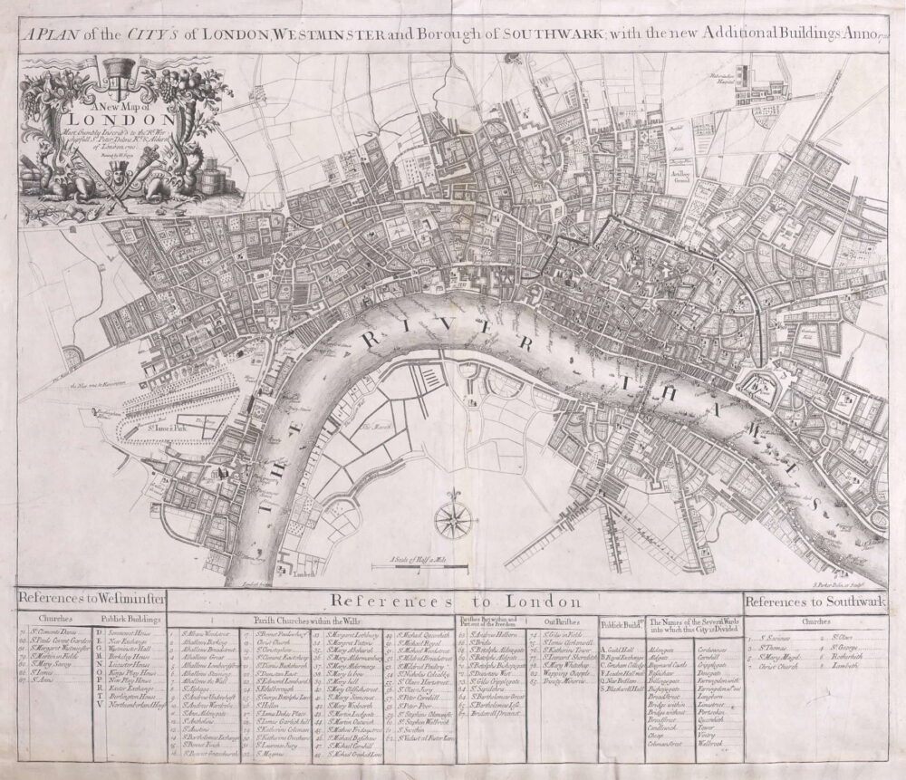
Parker (Samuel)

A Plan of the City's of London, Westminster and Borough of Southwark,

£1,250

Foreign Maps

Pease (Richard H.)

Topographical Map of the Country between the Mohawk River and Wood Creek,

£150

Foreign Maps

Piale (Luigi)

Pianta di Roma,

£495
Out of stock

British Maps

Price (Charles)

The River of Thames from London to the Buoy of ye Noure,

Out of stock

British Maps

Radclyffe (T.)

Drake's Map of the Grand Junction Railway,

Out of stock

British Maps

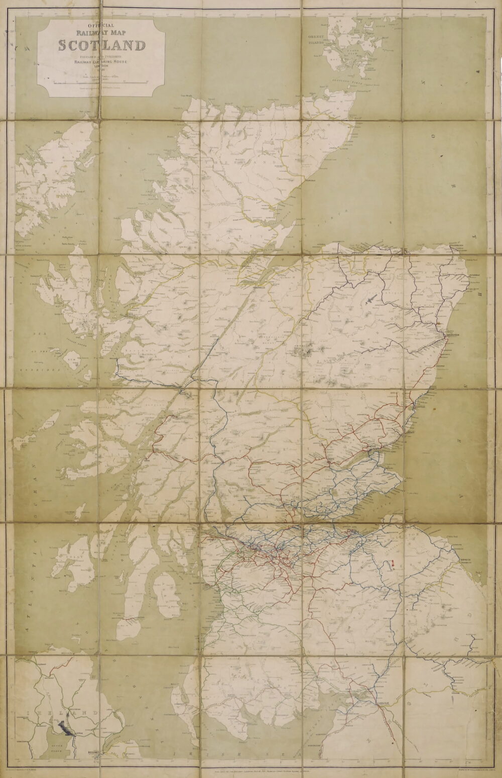
Railway Clearing House (The ).

Official Railway Map of Scotland,

Christmas 2022

Ramusio (Giovanni Battista)

Sumatra, Taprobana,

£795
Out of stock

British Maps

Rapkin (John)

Brighton,

British Maps

Russell (John)

London,

£375

British Maps

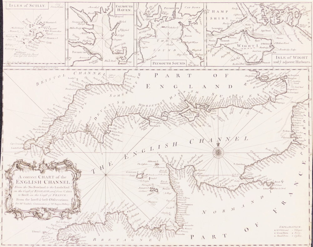
Seale (Richard William)

A Correct Chart of the English Channel from the No. Foreland to the Land's End on the Coast of England, and from Calais to Brest on the Coast of France,

£120

British Maps

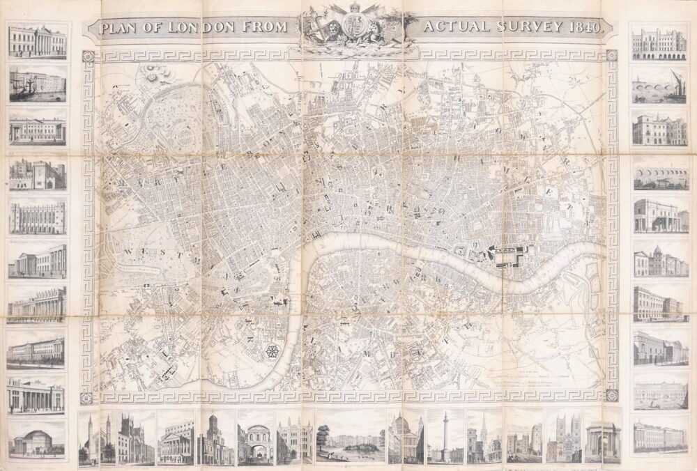
Shury (John)

Plan of London from Actual Survey, 1840,

£825

British Maps

Smith (W.H., & Son) (Publisher).

W.H. Smith & Son's Plan of London,

£240

British Maps

Speed (John)

The Countie of Radnor Described, and the Shyretownes Sittuatione,

£225

British Maps

Speed (John)

The Bishoprick and Citie of Durham,

£395
Out of stock

British Maps

Speed (John)

The Countie Pallatine of Lancaster Described and Divided into Hundreds,

British Maps

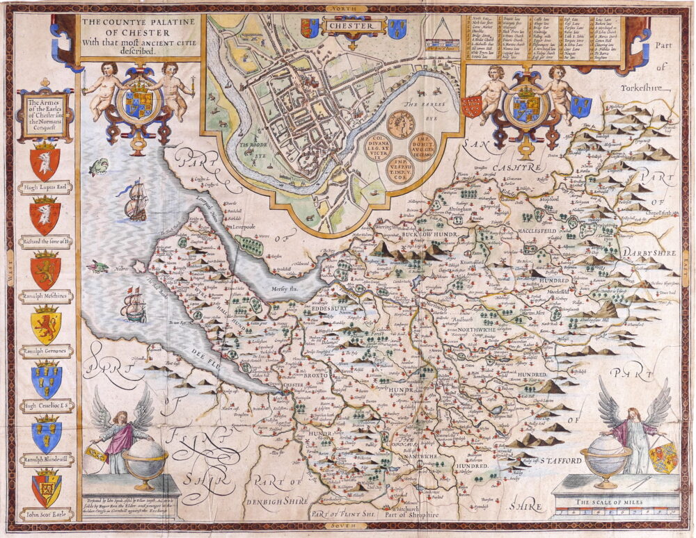
Speed (John)

The Countye Palatine of Chester, with that most ancient citie described,

£395

British Maps

Stanford (Edward)

London with its Postal Sub-Divisions,

£250

British Maps

Thomson (John)

Northern Part of England [with] Southern Part of England,

£270

Foreign Maps

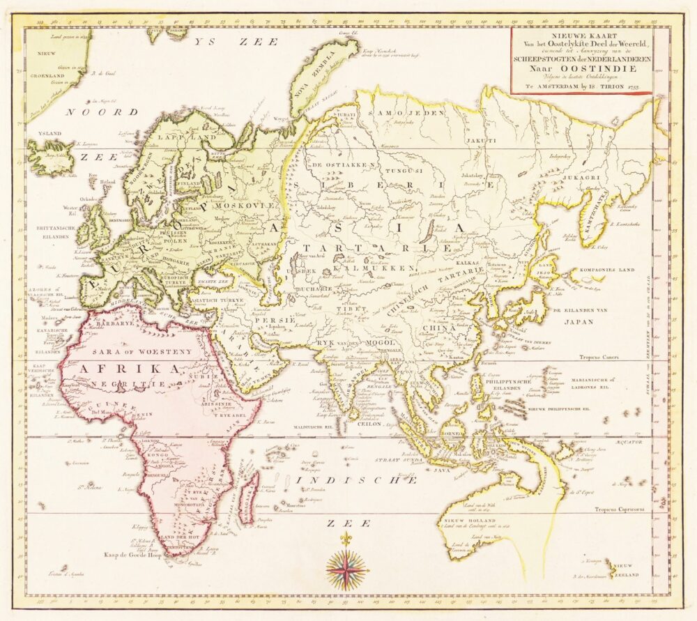
Tirion (Isaak)

Nieuwe Kaart van het Oostelykste Deel der Weereld,

£575
Out of stock

British Maps

Tombleson (William)

Panoramic Map of the Thames and Medway,

British Maps

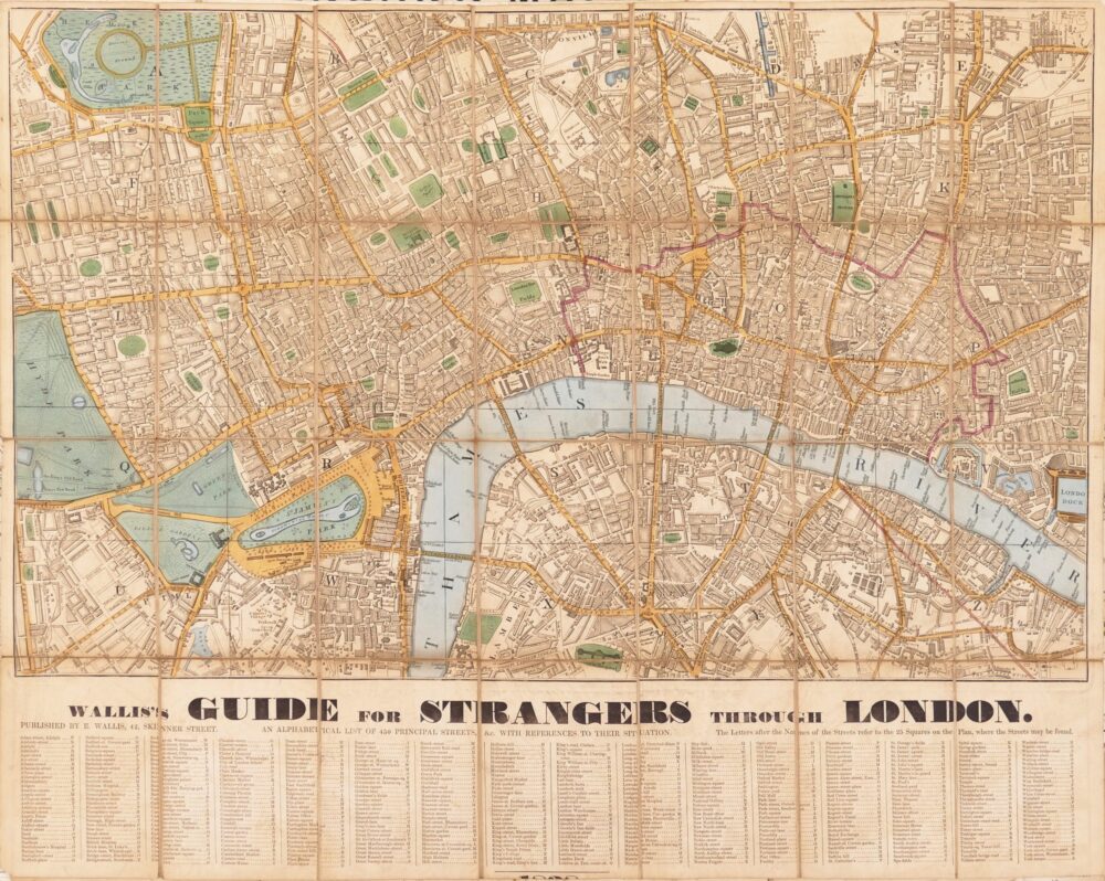
Wallis (Edward)

Wallis's Guide for Strangers through London, 1838,

£750

British Maps

Wallis (Edward)

Wallis's Guide for Strangers through London, 1826,

£750

British Maps

Wallis (John)

Wallis's Plan of the Cities of London and Westminster, 1799,

£600

Europe

Wyld (James)

The Crimea,

£270

British Maps

Wyld (James)

Wyld's New Plan of London,

£975

British Maps

Wyld (James) the Younger

A New Map of the Country Twenty-Five Miles Round London,

£495