


Blaeu (Willem)
Magnæ Britanniæ et Hiberniæ Tabula,
£450
Amsterdam, Willem Blaeu, 1646.
a detailed map of the British Isles, Ireland and the North Sea coasts of France and the Netherlands, showing numerous place names and inland waterways, with an inset map of the Orkney Islands, upper right, a title cartouche of scrollwork and swags, upper left, a compass rose, three sailing ships and a sea monster, with text on the verso from a German language edition,.
engraved map with original hand-colouring in outline, a central vertical fold with a repair in the Irish Sea between Anglesey and the Isle of Man affecting the last letter of ‘Mare’, pale browning and minor handling creases,
| Dimensions | 3905051520 cm |
|---|
Related products
British Maps
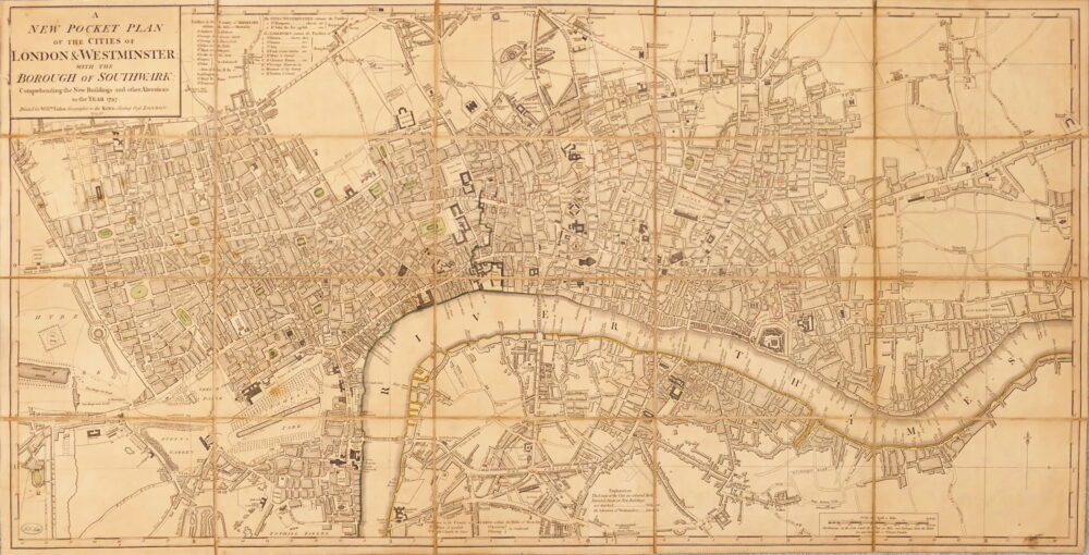
A New Pocket Plan of the Cities of London & Westminster, with the Borough of Southwark, Comprehending the New Buildings and other Alterations to the Year 1797,


British Maps
Bowles's New Pocket Plan of the Cities of London & Westminster with the Borough of Southwark,