

Parker (Samuel)
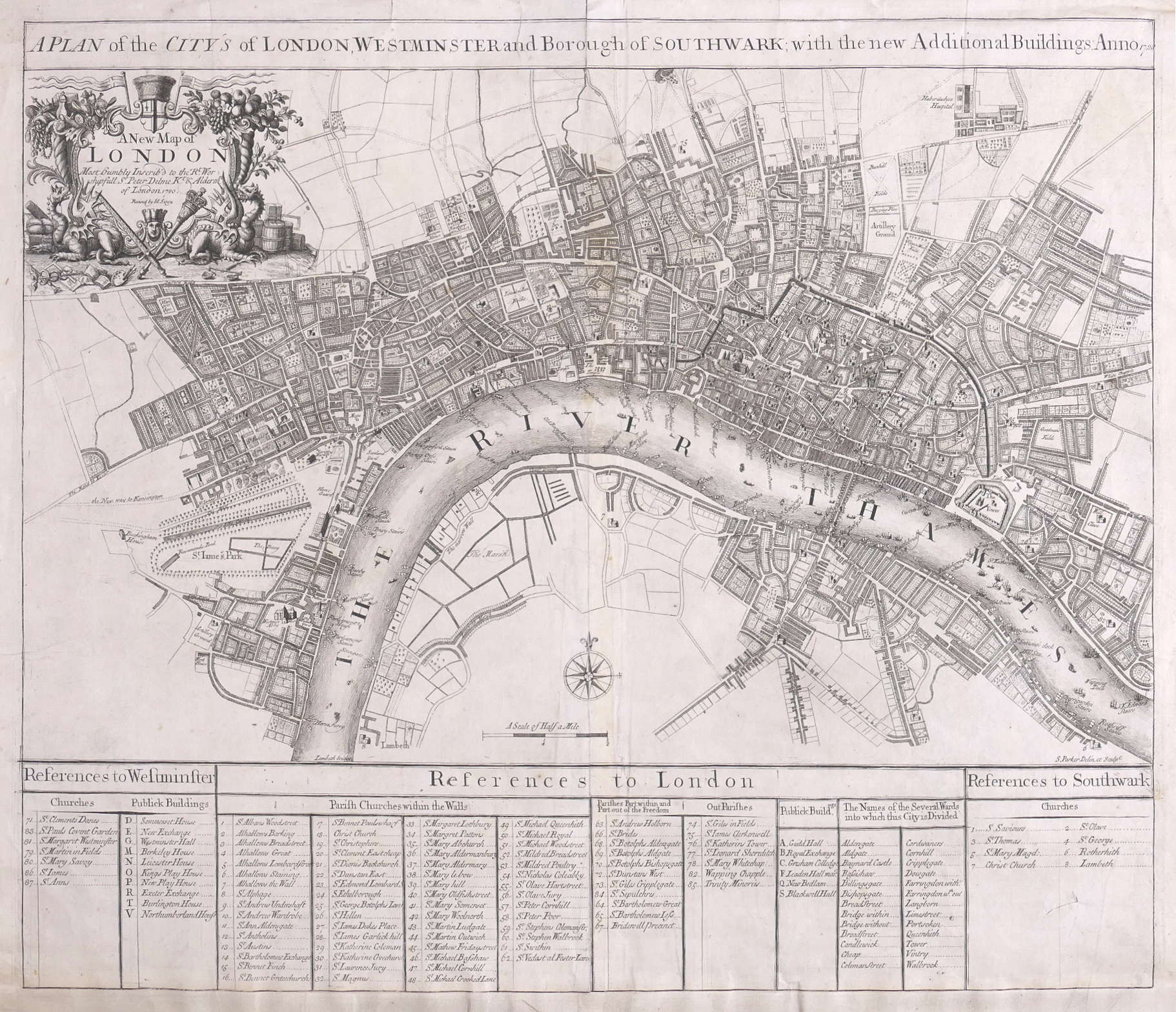
A Plan of the City's of London, Westminster and Borough of Southwark,
£1,250
with the new Additional Buildings, Anno 1720,
London, John Senex, 1721.
a very clear representation of the extent of early Georgian London, from New River Head in Islington to Lambeth Palace, and from Hyde Park to Whitechapel. The title strip runs across above the map, with a decorative cartouche in the upper left corner, framed by cornucopiæ supported on the emblematic dragons that guard the entrances to the City, and surrounded by symbols wealth and trade, the arts, sciences and justice, containing the secondary title of ‘A New Plan of London’, and its dedication to Sir Peter Delmé, alderman, governor of the Bank of England, and later mayor of London. In the lower centre of the map is a small compass rose. Across the bottom of the sheet is a large reference panel, divided in columns within three sections for Westminster, London and Southwark. The map was published in ‘A New General Atlas Containing a Geographical and Historical Account of the World’,.
engraved map, central vertical fold, minor handling creases, a few repaired marginal splits at the upper sheet edge, occasionally through the upper border line, a repaired tear in the blank area of the lower right reference panel, [Howgego 65].
| Dimensions | 5055902023 cm |
|---|
Related products

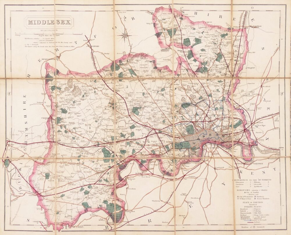

British Maps
Greenwood (Christopher and John)
Map of the County of Cornwall from an Actual Survey made in the Years 1826 & 1827,