


Walker (John and Charles) (Publishers)
Essex,
£75
(c.1860).
In stock
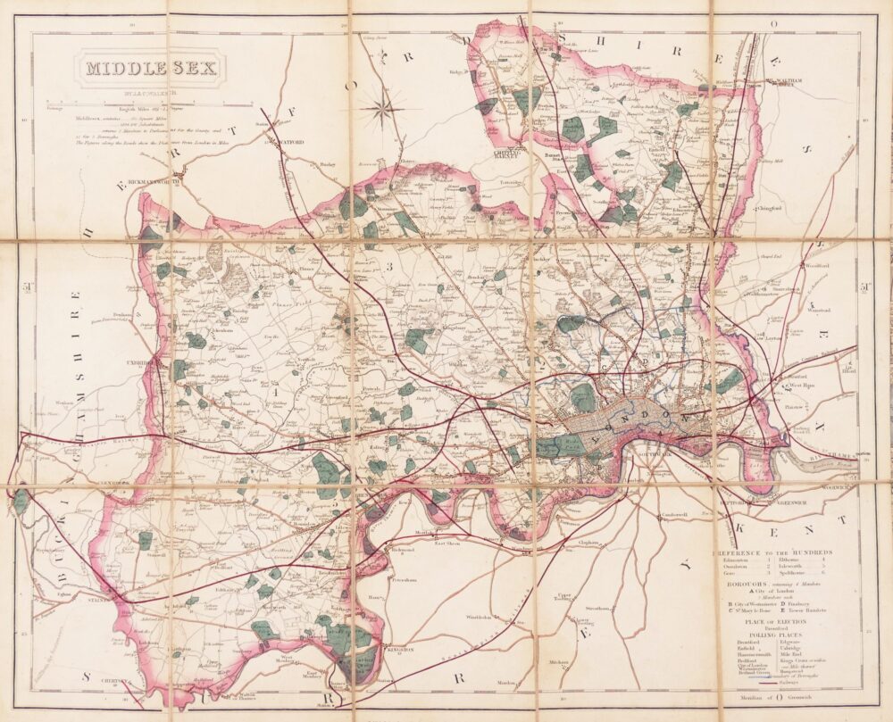
separately issued, folding, county map showing the intermediate development of the railways before the northern branch line extensions beyond Halstead and Sudbury, or the eastern extension from Colchester to Walton le Soken (Walton on the Naze), the title cartouche is upper right with tables of Hundreds, Boroughs, electoral divisions and polling places, and a compass rose, all in the lower right corner,
engraved map with original hand-colouring, 330 x 400 mm. (13 x 15 3/4 in), dissected and linen-backed, pale even browning, folding into contemporary green cloth boards with publisher’s title label, 8vo,
Related products

Christmas 2022
De Cust van Barbaryen van out Mamora tot Capo Blanco, [on sheet with] De Cust van Barbaryen van Capo Blanco Tot Capo de Geer,

British Maps
Cary's New and Accurate Plan of London and Westminster, the Borough of Southwark, and parts adjacent; viz. Kensington, Chelsea, Islington, Hackney, Walworth, Newington &c. with an Alphabetical list of upwards of 500 of the most principal Streets with references to their Situation and Plans 0f the New London & East & West India Docks,