

Laurent (Charles)
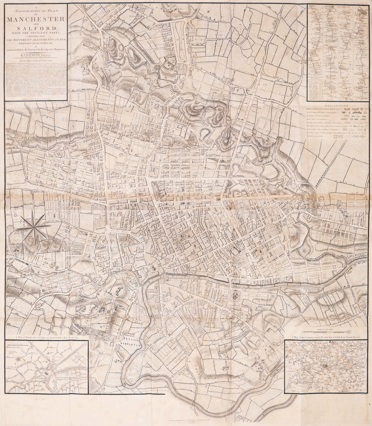
A Topographical Plan of Manchester and Salford with the Adjacent Parts,
£570
Shewing also the Different Allotments of Land Proposed to be built on as communicated to the Surveyor by the respective Proprietors,
London, John Stockdale, 1793.
large wall map of Manchester and Salford, title and descriptive text panel upper left, a strip road map from London to Manchester inset upper right, ‘Plan of Manchester and Salford taken about 1650’ inset lower left, and ‘A Map of the Country round Manchester from Actual Survey’ inset lower right, a large compass rose centre left, with north oriented to the lower left. The plan was first issued by Charles Laurent in 1793, but the plates were acquired later the same year by Thomas Stockdale, who issued it folded into ‘A Description of the Country from Thirty to Forty Miles Round Manchester’ by John Aikin, published in 1795,.
large plan engraved by John Cary, printed on 2 sheets, joined, with slight browning along the horizontal join, a few minor repairs to occasional small splits on old folds,
| Dimensions | 10609404137 cm |
|---|
Related products

British Maps
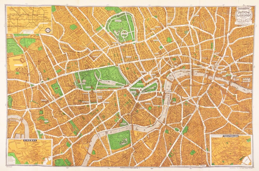
An Entire New Plan of the Cities of London & Westminster, with the Borough of Southwark, Comprehending the New Buildingsand other Alterations to the present time,
British Maps
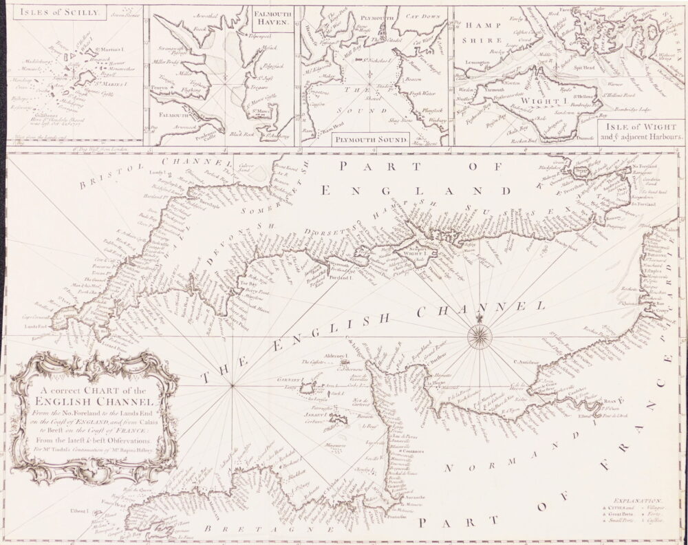
A Correct Chart of the English Channel from the No. Foreland to the Land's End on the Coast of England, and from Calais to Brest on the Coast of France,