

Imray (James, FRGS)
Estuary of the Thames Compiled from Recent Government Surveys,
James Imray and Son, 1891.
Sold. Contact us if you would like notifications on this or similar items in the future, or if you have a similar artwork you would like to sell.
a large and highly detailed coastal chart to either side of the mouth of the Thames, from Hythe in Kent to Burnham in Essex, upstream as far as Canvey Island and Chatham on the Medway, with inset charts of Ramsgate and Dover in the lower corners, 2 small inset views of lighthouses, and 5 compass roses,
lithographed map with hand-colouring, 660 x 1020 mm. (26 x 40 1/8 in), a central vertical fold, a few short marginal tears, slight surface dust,
Related products
British Maps
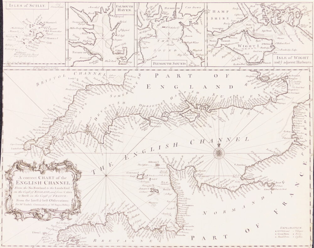
A Correct Chart of the English Channel from the No. Foreland to the Land's End on the Coast of England, and from Calais to Brest on the Coast of France,

