British Maps
London Fire Insurance Plan, Vol. VI, Sheet 134, Charterhouse Square and Barbican Station, EC1,
British Maps
London Fire Insurance Plan, Vol. VI, Sheet 135, the Barbican district, EC1,
British Maps
London Fire Insurance Plan, Vol. VI, Sheet 136, the eastern Barbican district, EC1,
British Maps
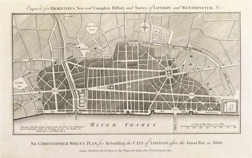
A Plan of the City and Liberties of London after the Dreadful Conflagration in the Year 1666,
British Maps
A Plan of the Late Siege of the Havana and Moor's Castle, & their Environs,
British Maps
British Maps
[Mottley (John)] pseud. John Seymour.
A Map of London, Westminster and Southwark, With ye New Buildings to ye Year 1733,
British Maps


![1. Neele (Samuel John) [A plan of the Isle of Dogs and Docks], (1810)](https://roberthall.pictures/wp-content/uploads/2024/07/1836-1000x714.jpg)


![1. [Mottley (John)] pseud. John Seymour. A Map of London, Westminster and Southwark, With ye New Buildings to ye Year 1733,](https://roberthall.pictures/wp-content/uploads/2023/08/1845-1000x546.jpg)
