Maps & Atlases of Britain and beyond, including even the occasional celestial cartography.
British Maps
[Mottley (John)] pseud. John Seymour.
A Map of London, Westminster and Southwark, With ye New Buildings to ye Year 1733,
British Maps
Bowles's New Pocket Plan of the Cities of London & Westminster with the Borough of Southwark,
British Maps
Bradshaw's Map of the Railways in Great Britain, shewing the projected lines to the present time,
British Maps
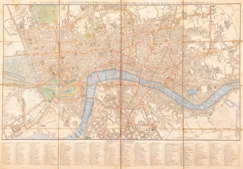
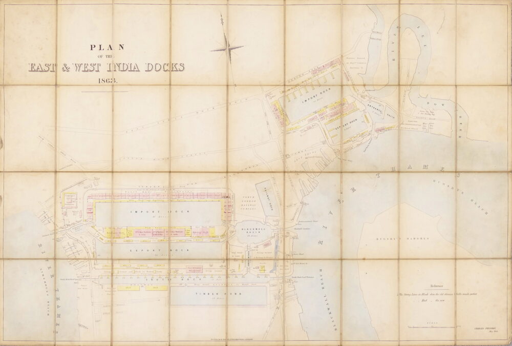
Cary's New and Accurate Plan of London and Westminster, the Borough of Southwark, and parts adjacent; viz. Kensington, Chelsea, Islington, Hackney, Walworth, Newington &c. with an Alphabetical list of upwards of 500 of the most principal Streets with references to their Situation and Plans 0f the New London & East & West India Docks,
British Maps
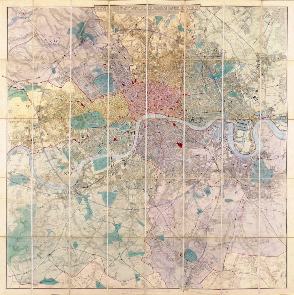
Cruchley's New Plan of London, Shewing all the new and intended improvements to the present time,
British Maps
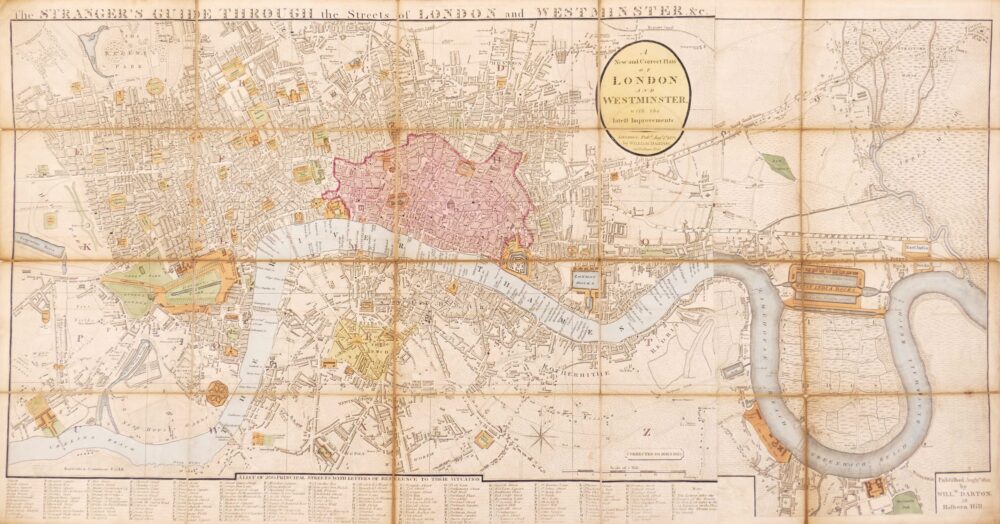
The Stranger's Guide Through the Streets of London and Westminster &c.,
British Maps
British Maps
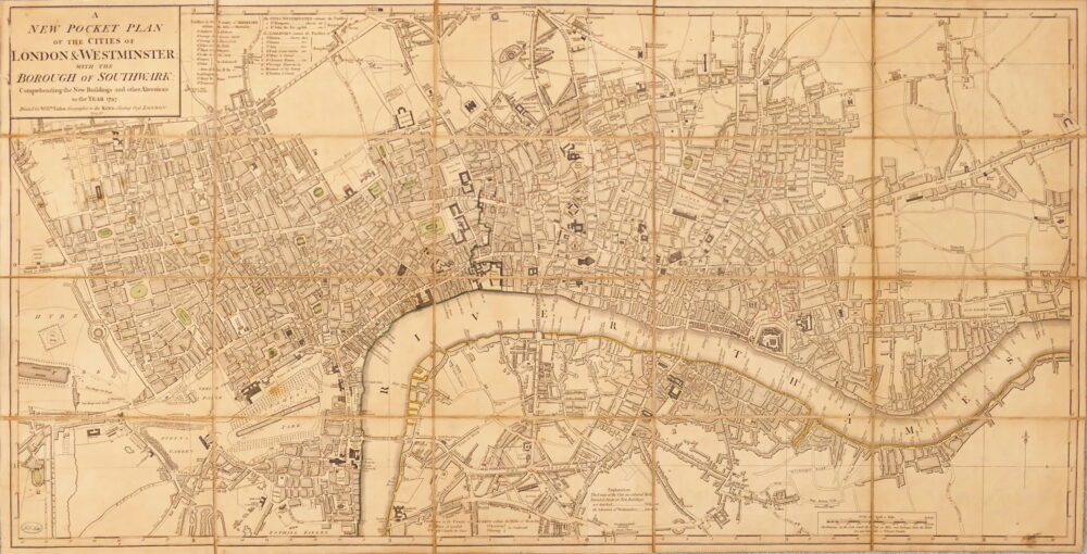
A New Pocket Plan of the Cities of London & Westminster, with the Borough of Southwark, Comprehending the New Buildings and other Alterations to the Year 1797,
Christmas 2022
De Cust van Barbaryen van out Mamora tot Capo Blanco, [on sheet with] De Cust van Barbaryen van Capo Blanco Tot Capo de Geer,
British Maps
Greenwood (Christopher and John)
Map of the County of Southampton from an Actual Survey made in the Years 1825 & 1826,
British Maps
Greenwood (Christopher and John)
Map of the County of Cornwall from an Actual Survey made in the Years 1826 & 1827,
British Maps

![1. [Mottley (John)] pseud. John Seymour. A Map of London, Westminster and Southwark, With ye New Buildings to ye Year 1733,](https://roberthall.pictures/wp-content/uploads/2023/08/1845-1000x546.jpg)

