British Maps
A Topographical Plan of Manchester and Salford with the Adjacent Parts,
Transport & Engineering
Pyall (Henry) after Thomas Talbot Bury.
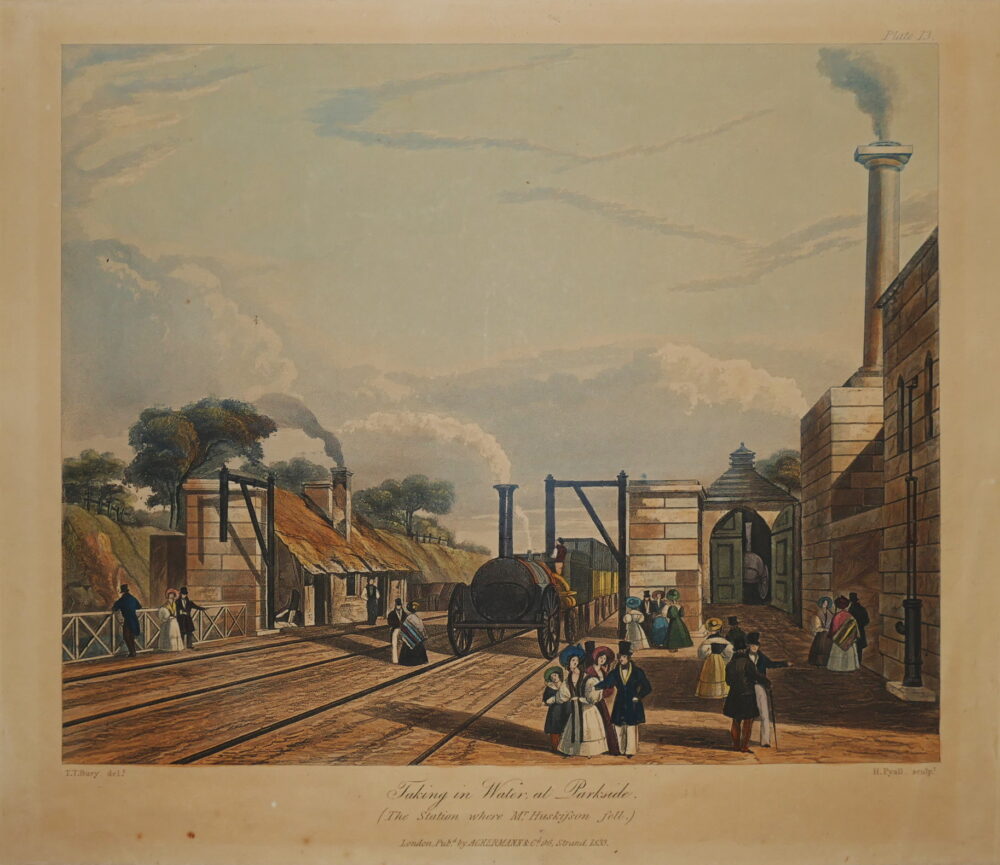
Taking in Water at Parkside, (The Station where Mr Huskisson fell),
Transport & Engineering
Pyall (Henry) after Thomas Talbot Bury.
Near Liverpool looking towards Manchester,
Transport & Engineering
Pyall (Henry) after Thomas Talbot Bury.
Entrance of the Railway at Edge-Hill, Liverpool,
Transport & Engineering
Pyall (Henry) after Thomas Talbot Bury.
Excavation of Olive Mount, 4 Miles from Liverpool,
Transport & Engineering
Pyall (Henry) after Thomas Talbot Bury.
View of the Railway across Chat Moss,
Transport & Engineering
Pyall (Henry) after Thomas Talbot Bury.
Entrance into Manchester across Water Street,
Transport & Engineering
Pyall (Henry) after Thomas Talbot Bury.
Moorish Arch looking from the Tunnel,
Transport & Engineering
Pyall (Henry) after Thomas Talbot Bury.
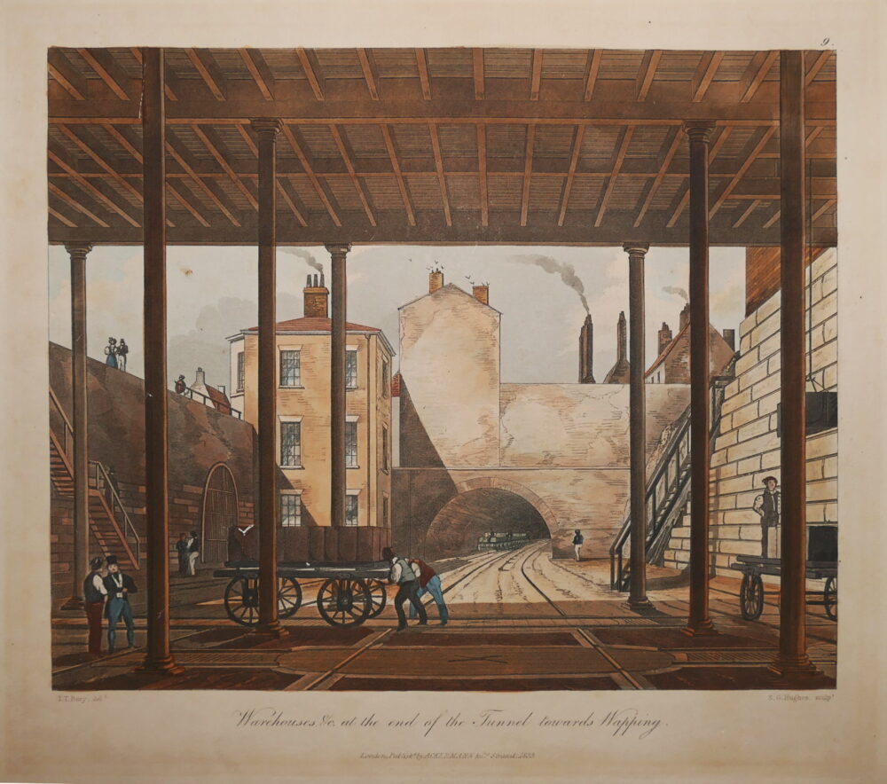
Warehouses &c. at the end of the Tunnel towards Wapping,


