British Maps
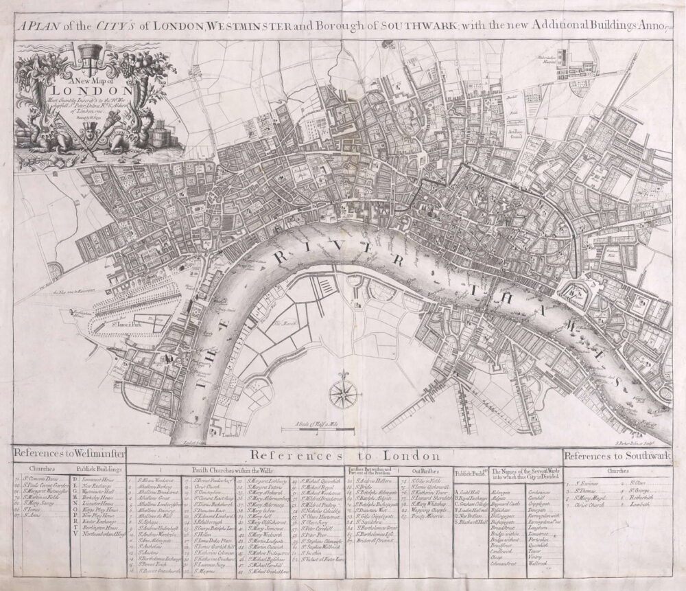
[Mottley (John)] pseud. John Seymour.
A Map of London, Westminster and Southwark, With ye New Buildings to ye Year 1733,
British Maps
Bowles's New Pocket Plan of the Cities of London & Westminster with the Borough of Southwark,
British Maps
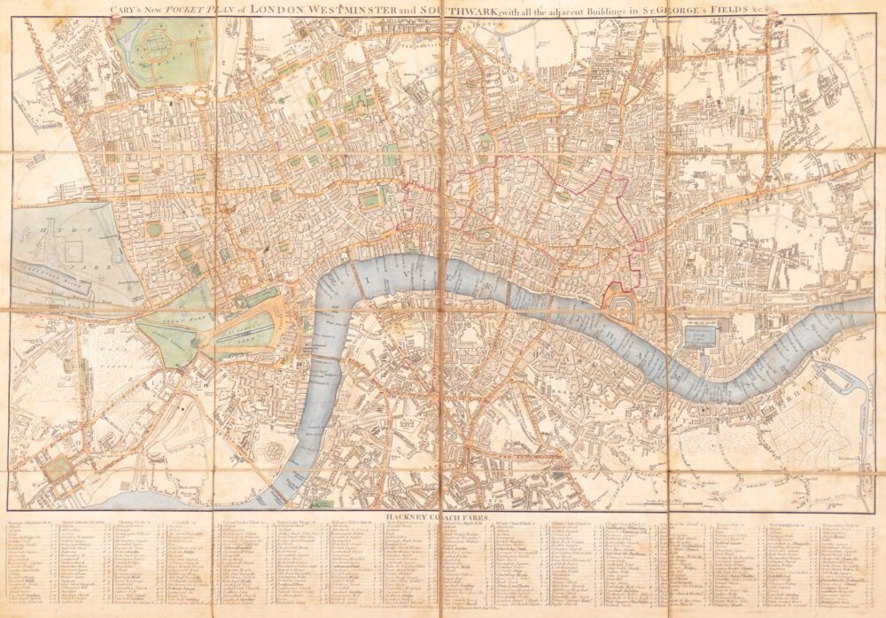
Cary's New and Accurate Plan of London and Westminster, the Borough of Southwark, and parts adjacent; viz. Kensington, Chelsea, Islington, Hackney, Walworth, Newington &c. with an Alphabetical list of upwards of 500 of the most principal Streets with references to their Situation and Plans 0f the New London & East & West India Docks,
British Maps
Cruchley's New Plan of London, Shewing all the new and intended improvements to the present time,
British Maps
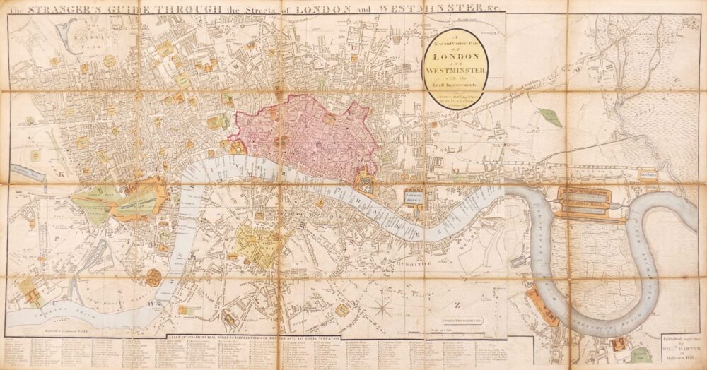
The Stranger's Guide Through the Streets of London and Westminster &c.,
British Maps
British Maps
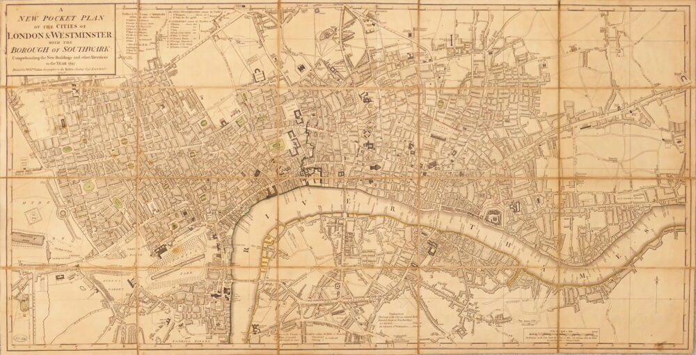
A New Pocket Plan of the Cities of London & Westminster, with the Borough of Southwark, Comprehending the New Buildings and other Alterations to the Year 1797,
British Maps
British Maps
A Topographical Plan of Manchester and Salford with the Adjacent Parts,
British Maps
An Entire New Plan of the Cities of London & Westminster, with the Borough of Southwark, Comprehending the New Buildingsand other Alterations to the present time,
British Maps
London in Miniature with the Surrounding Villages, An Entire New Plan In which the Improvements both present and intended are actually reduced (by permission) from the surveys of The Several Proprietors, The whole laid down from the best Authorities and Carefully corrected to the present time,

![1. [Mottley (John)] pseud. John Seymour. A Map of London, Westminster and Southwark, With ye New Buildings to ye Year 1733,](https://roberthall.pictures/wp-content/uploads/2023/08/1845-1000x546.jpg)


