


Davies (Benjamin Rees)
London and its Environs,
£750
Containing the Boundaries of the Metropolitan Boroughs, the different Railroads & Stations, The New Cemeteries, Roads, Docks, Canals, and all modern improvements,
London, C.F. Cheffins, Orr & Co., Letts & Son, J. Cross & Son, and T.W. Saunders,, 1847.
first issued in 1840, the map extends from Finchley to Tooting, and from Hanwell to Barking, occasionally overlapping with the border. This is the later variant prepared to show the districts and divisions of the Metropolitan Sewers, with an additional panel in the lower right corner containing a list of the 18 zones coloured and numbered in the central area of the map. This 1847 edition of the map also includes the newly constructed North Woolwich, South Western, Brentford and Twickenham railways,.
lithographed map with original hand-colouring, dissected and linen-backed, slight creasing to corners, pale even age toning and slight surface dirt, an oil stain affecting the upper right corner, one marbled outer panel on verso, with residue of another, [Howgego 372 (8) but dated 1847 (as 6), not 1854],
| Dimensions | 5507152128 cm |
|---|
Related products


British Maps
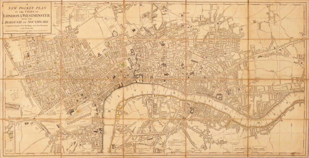
A New Pocket Plan of the Cities of London & Westminster, with the Borough of Southwark, Comprehending the New Buildings and other Alterations to the Year 1797,