


British Maps
A Topographical Plan of Manchester and Salford with the Adjacent Parts,

Art and Architecture
Laurie (Robert) and James Whittle, publishers.
A Front View of the East India House, in Leadenhall Street, Built by Rich.d Jupp, Esq.r,

Art and Architecture
Laurie (Robert) and James Whittle, publishers.
A View of the Warehouses & West-India Dock, (Taken from the Back of the Folly House at Blackwall),


British Maps
An Entire New Plan of the Cities of London & Westminster, with the Borough of Southwark, Comprehending the New Buildingsand other Alterations to the present time,

British Maps
London in Miniature with the Surrounding Villages, An Entire New Plan In which the Improvements both present and intended are actually reduced (by permission) from the surveys of The Several Proprietors, The whole laid down from the best Authorities and Carefully corrected to the present time,


Art and Architecture
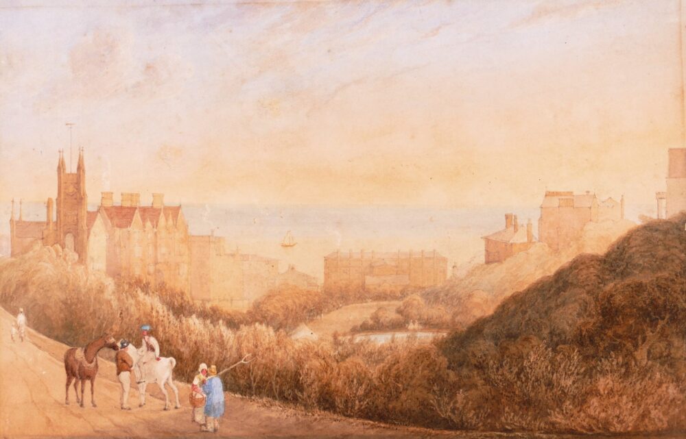
Robson (George Fennell) Attributed to.
View of St Leonards Gardens from Maze Hill,
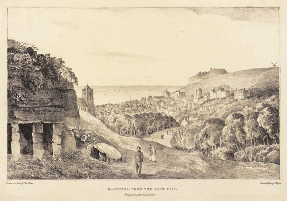

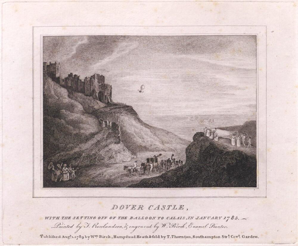
British Topography
Dover Castle with the setting off of the Balloon to Calais,

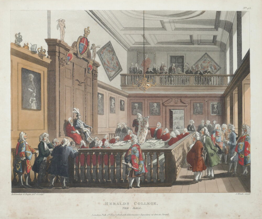
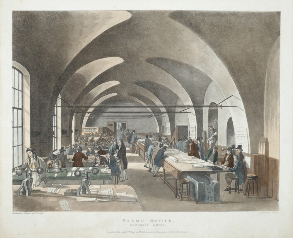
Art and Architecture
Rowlandson (Thomas) and Charles Augustus Pugin.
The Roman Catholic Chapel, Lincoln's Inn Fields,


Art and Architecture
Rowlandson (Thomas) and Charles Augustus Pugin.
Drawing from Life at the Royal Academy, (Somerset House),


Art and Architecture
Rowlandson (Thomas) and Charles Augustus Pugin.
Exhibition Room, Somerset House,


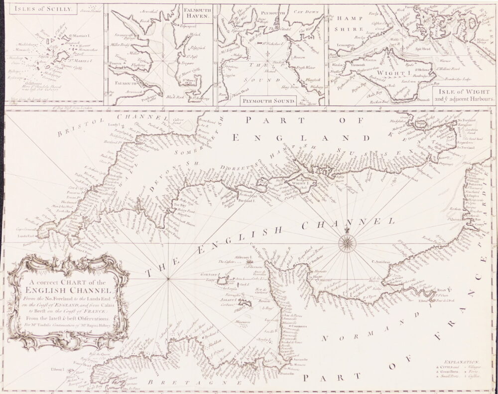
British Maps
A Correct Chart of the English Channel from the No. Foreland to the Land's End on the Coast of England, and from Calais to Brest on the Coast of France,


British Topography
Stadler (Joseph Constantine) after John Gendall.
North East View of Westminster Abbey,