


British Maps
Bowles's New Pocket Plan of the Cities of London & Westminster with the Borough of Southwark,

Art and Architecture
Bowles (Thomas) after J. Donawell.
Ironmongers Hall with a View of Fenchurch Street,

British Maps
Bradshaw's Map of the Railways in Great Britain, shewing the projected lines to the present time,


Caricatures
The Brutal State of Europe, or a long Pull a strong Pull & a Pull altogether,

Art and Architecture
Front View of the Old East India House in Leadenhall Street, 1648 to 1726,


Photographs & Photographic Art
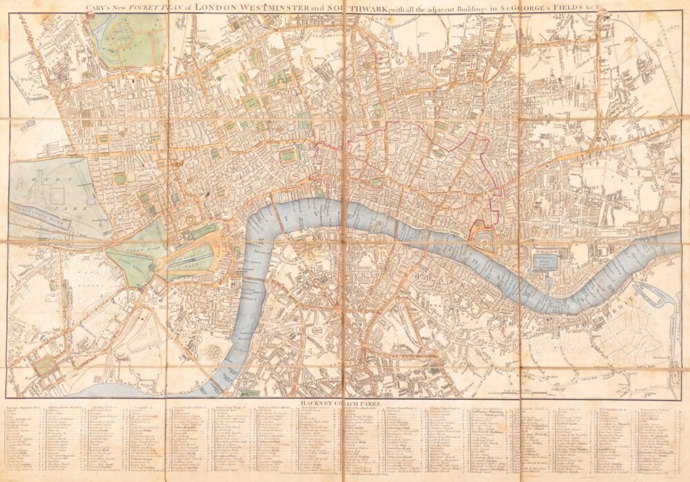

British Maps
Cary's New and Accurate Plan of London and Westminster, the Borough of Southwark, and parts adjacent; viz. Kensington, Chelsea, Islington, Hackney, Walworth, Newington &c. with an Alphabetical list of upwards of 500 of the most principal Streets with references to their Situation and Plans 0f the New London & East & West India Docks,